The road to Whitwick
Introduction
The photograph on this page of The road to Whitwick by Mat Fascione as part of the Geograph project.
The Geograph project started in 2005 with the aim of publishing, organising and preserving representative images for every square kilometre of Great Britain, Ireland and the Isle of Man.

There are currently over 7.5m images from over 14,400 individuals and you can help contribute to the project by visiting https://www.geograph.org.uk
The road to Whitwick
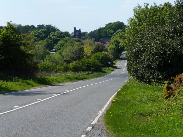
Image: © Mat Fascione Taken: 26 May 2013
The building in the distance is the Grade II listed Abbot's Oak.
Images are licensed for reuse under creativecommons.org/licenses/by-sa/2.0
Image Location
Latitude
52.723908
Longitude
-1.313246