Coronation Road, Park Royal
Introduction
The photograph on this page of Coronation Road, Park Royal by Des Blenkinsopp as part of the Geograph project.
The Geograph project started in 2005 with the aim of publishing, organising and preserving representative images for every square kilometre of Great Britain, Ireland and the Isle of Man.

There are currently over 7.5m images from over 14,400 individuals and you can help contribute to the project by visiting https://www.geograph.org.uk
Coronation Road, Park Royal
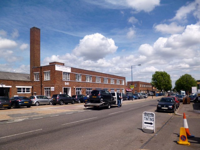
Image: © Des Blenkinsopp Taken: 14 Jun 2013
Park Royal gets its name from a short period around 1903 when the land was a showground for the Royal Agricultural Society. Subsequently developed during the 1930s into what is now, at around 500 hectares, the largest business park in London. Many of the units are now the usual modern warehouse type buildings, but a good number of older premises are still in use.
Images are licensed for reuse under creativecommons.org/licenses/by-sa/2.0
Image Location
Latitude
51.528236
Longitude
-0.278735