Farmland south of the A272 at Stroud
Introduction
The photograph on this page of Farmland south of the A272 at Stroud by Martyn Pattison as part of the Geograph project.
The Geograph project started in 2005 with the aim of publishing, organising and preserving representative images for every square kilometre of Great Britain, Ireland and the Isle of Man.

There are currently over 7.5m images from over 14,400 individuals and you can help contribute to the project by visiting https://www.geograph.org.uk
Farmland south of the A272 at Stroud
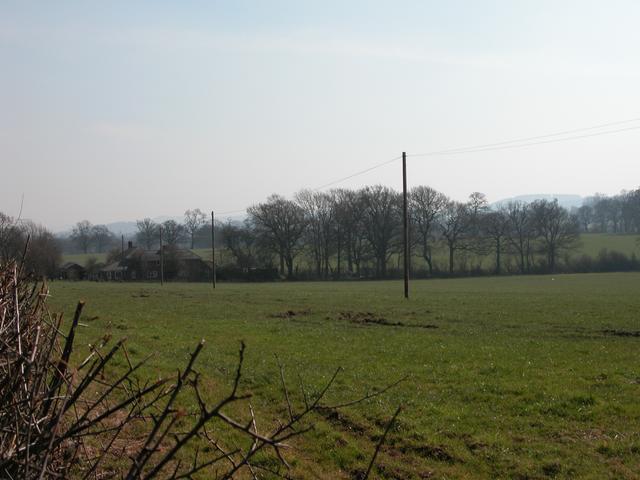
Image: © Martyn Pattison Taken: 16 Mar 2005
The A272 cuts through farmland to the West of Petersfield, this photo was taken from Langrish School looking south towards Butser Hill
Images are licensed for reuse under creativecommons.org/licenses/by-sa/2.0
Image Location


Leaflet Map data © OpenStreetMap
Latitude
51.006327
Longitude
-0.968042