Road in Tytherleigh
Introduction
The photograph on this page of Road in Tytherleigh by Derek Harper as part of the Geograph project.
The Geograph project started in 2005 with the aim of publishing, organising and preserving representative images for every square kilometre of Great Britain, Ireland and the Isle of Man.

There are currently over 7.5m images from over 14,400 individuals and you can help contribute to the project by visiting https://www.geograph.org.uk
Road in Tytherleigh
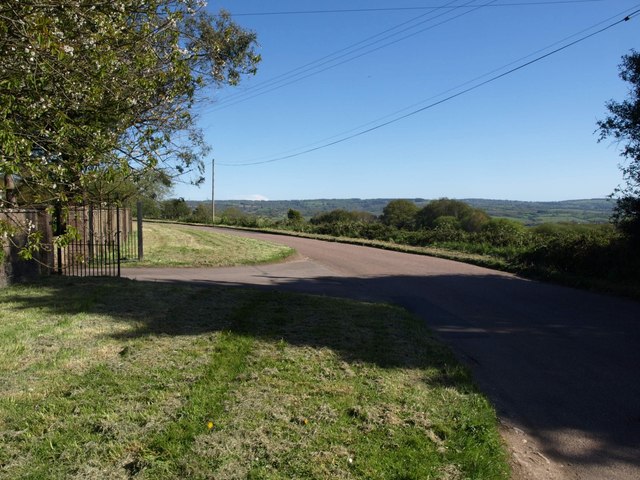
Image: © Derek Harper Taken: 16 May 2013
The road from Chardstock swings around bend. For much of its course it has housing on one side and farmland on the other; the sides get reversed at this bend, revealing a good view to the south,
Images are licensed for reuse under creativecommons.org/licenses/by-sa/2.0
Image Location
Latitude
50.826801
Longitude
-2.972377