View from footpath across the site of Coles pits
Introduction
The photograph on this page of View from footpath across the site of Coles pits by Paul Belcher as part of the Geograph project.
The Geograph project started in 2005 with the aim of publishing, organising and preserving representative images for every square kilometre of Great Britain, Ireland and the Isle of Man.

There are currently over 7.5m images from over 14,400 individuals and you can help contribute to the project by visiting https://www.geograph.org.uk
View from footpath across the site of Coles pits
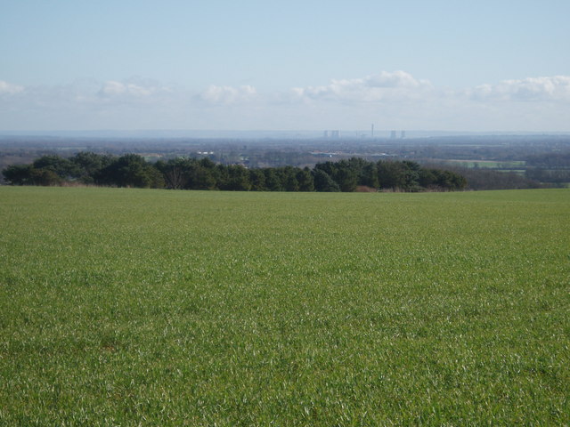
Image: © Paul Belcher Taken: 3 Mar 2007
The view shows where the Coles pits used to be until the late sixties or early seventies, they were then levelled to amalgamate two fields into one large unit. In the distance is Didcot power station.
Images are licensed for reuse under creativecommons.org/licenses/by-sa/2.0
Image Location


Leaflet Map data © OpenStreetMap
Latitude
51.641431
Longitude
-1.577262