St Andrew's School, Chardstock
Introduction
The photograph on this page of St Andrew's School, Chardstock by Derek Harper as part of the Geograph project.
The Geograph project started in 2005 with the aim of publishing, organising and preserving representative images for every square kilometre of Great Britain, Ireland and the Isle of Man.

There are currently over 7.5m images from over 14,400 individuals and you can help contribute to the project by visiting https://www.geograph.org.uk
St Andrew's School, Chardstock
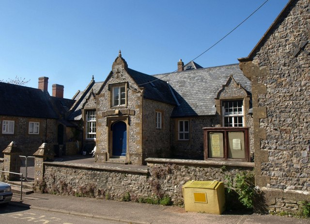
Image: © Derek Harper Taken: 16 May 2013
Originally an industrial school built in 1839 and enlarged since http://list.english-heritage.org.uk/resultsingle.aspx?uid=1333539&searchtype=mapsearch . The school moved into new premises on the edge of the village in 2009.
Images are licensed for reuse under creativecommons.org/licenses/by-sa/2.0
Image Location
Latitude
50.83571
Longitude
-2.982361