Ordnance Survey Cut Mark
Introduction
The photograph on this page of Ordnance Survey Cut Mark by Adrian Dust as part of the Geograph project.
The Geograph project started in 2005 with the aim of publishing, organising and preserving representative images for every square kilometre of Great Britain, Ireland and the Isle of Man.

There are currently over 7.5m images from over 14,400 individuals and you can help contribute to the project by visiting https://www.geograph.org.uk
Ordnance Survey Cut Mark
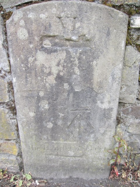
Image: © Adrian Dust Taken: 18 Jun 2013
This OS Cut Mark can be found to the SW of the road. It was once on the NE side and part buried. Now moved after road works. It did mark a point 96.1400m above mean sea level. The Stone has VI & Hamlet of Mawr ? carved into it. On the 1877 map it is shown as a Mile Stone - Neath 6. The word Neath has been removed from below the VI.
Images are licensed for reuse under creativecommons.org/licenses/by-sa/2.0
Image Location
Latitude
51.725373
Longitude
-3.860409