Lane to Chardstock
Introduction
The photograph on this page of Lane to Chardstock by Derek Harper as part of the Geograph project.
The Geograph project started in 2005 with the aim of publishing, organising and preserving representative images for every square kilometre of Great Britain, Ireland and the Isle of Man.

There are currently over 7.5m images from over 14,400 individuals and you can help contribute to the project by visiting https://www.geograph.org.uk
Lane to Chardstock
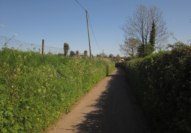
Image: © Derek Harper Taken: 16 May 2013
Just south of Stockstyle Farm, with the beginning of the village at Harestone Cross in the distance. This lane doesn't seem to have a name, although tiny green lanes leading from it are named. The fence on the left borders Chardstock's cricket ground.
Images are licensed for reuse under creativecommons.org/licenses/by-sa/2.0
Image Location
Latitude
50.83967
Longitude
-2.982018