Site of Menstrie Station
Introduction
The photograph on this page of Site of Menstrie Station by Alan Murray-Rust as part of the Geograph project.
The Geograph project started in 2005 with the aim of publishing, organising and preserving representative images for every square kilometre of Great Britain, Ireland and the Isle of Man.

There are currently over 7.5m images from over 14,400 individuals and you can help contribute to the project by visiting https://www.geograph.org.uk
Site of Menstrie Station
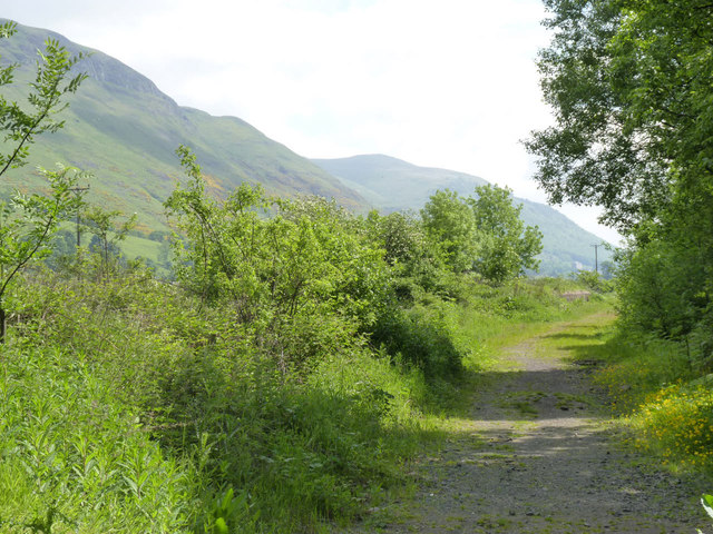
Image: © Alan Murray-Rust Taken: 7 Jun 2013
Opened in 1864, closed to passengers in 1954 and to general freight in 1964. The line continued to serve the Menstrie yeast factory until around 2010. The platform of the former goods loading dock can just be discerned.
Images are licensed for reuse under creativecommons.org/licenses/by-sa/2.0
Image Location
Latitude
56.150282
Longitude
-3.844371