King O'Muirs Road
Introduction
The photograph on this page of King O'Muirs Road by Alan Murray-Rust as part of the Geograph project.
The Geograph project started in 2005 with the aim of publishing, organising and preserving representative images for every square kilometre of Great Britain, Ireland and the Isle of Man.

There are currently over 7.5m images from over 14,400 individuals and you can help contribute to the project by visiting https://www.geograph.org.uk
King O'Muirs Road
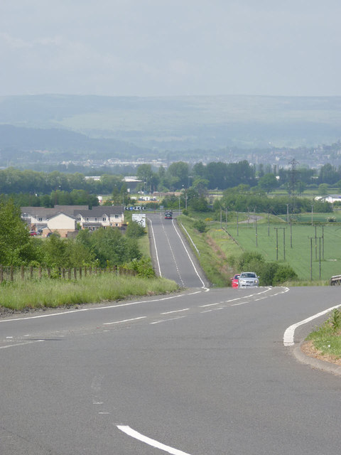
Image: © Alan Murray-Rust Taken: 7 Jun 2013
This section of the B9140 has been built within the past 10 years to form a relief road round Alloa and Tullibody
Images are licensed for reuse under creativecommons.org/licenses/by-sa/2.0
Image Location
Latitude
56.139241
Longitude
-3.837566