The Ochils from near Fishcross
Introduction
The photograph on this page of The Ochils from near Fishcross by Alan Murray-Rust as part of the Geograph project.
The Geograph project started in 2005 with the aim of publishing, organising and preserving representative images for every square kilometre of Great Britain, Ireland and the Isle of Man.

There are currently over 7.5m images from over 14,400 individuals and you can help contribute to the project by visiting https://www.geograph.org.uk
The Ochils from near Fishcross
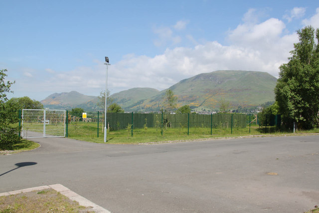
Image: © Alan Murray-Rust Taken: 7 Jun 2013
From left to right Dumyat Image, Myreton Hill Image and Craig Leith Image The fence in the foreground is one of the compounds of the Scottish SPCA's wildlife rescue sanctuary. The roadway crossing left to right follows the line of the tramroad which connected Devon Colliery with the harbour at Alloa.
Images are licensed for reuse under creativecommons.org/licenses/by-sa/2.0
Image Location
Latitude
56.142739
Longitude
-3.776568