Fields of buttercups to the west of Longden
Introduction
The photograph on this page of Fields of buttercups to the west of Longden by Richard Law as part of the Geograph project.
The Geograph project started in 2005 with the aim of publishing, organising and preserving representative images for every square kilometre of Great Britain, Ireland and the Isle of Man.

There are currently over 7.5m images from over 14,400 individuals and you can help contribute to the project by visiting https://www.geograph.org.uk
Fields of buttercups to the west of Longden
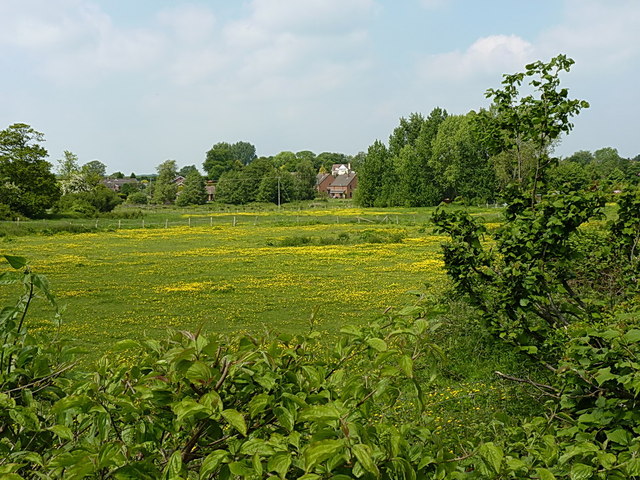
Image: © Richard Law Taken: 8 Jun 2013
It's been a good year for the buttercups around this area - haven't seen so many for a long while. A couple of houses in the village are visible through the trees.
Images are licensed for reuse under creativecommons.org/licenses/by-sa/2.0
Image Location


Leaflet Map data © OpenStreetMap
Latitude
52.650182
Longitude
-2.828451