Green Lanes Primary School Hatfield
Introduction
The photograph on this page of Green Lanes Primary School Hatfield by Jack Hill as part of the Geograph project.
The Geograph project started in 2005 with the aim of publishing, organising and preserving representative images for every square kilometre of Great Britain, Ireland and the Isle of Man.

There are currently over 7.5m images from over 14,400 individuals and you can help contribute to the project by visiting https://www.geograph.org.uk
Green Lanes Primary School Hatfield
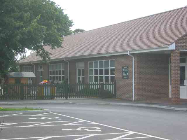
Image: © Jack Hill Taken: 7 Aug 2005
This school serves the area known as Hatfield Garden village which is physically separated from Hatfield by the A1001 and A1(M).
Images are licensed for reuse under creativecommons.org/licenses/by-sa/2.0
Image Location
Latitude
51.776325
Longitude
-0.235971