The Deeside Way, Peterculter
Introduction
The photograph on this page of The Deeside Way, Peterculter by Stanley Howe as part of the Geograph project.
The Geograph project started in 2005 with the aim of publishing, organising and preserving representative images for every square kilometre of Great Britain, Ireland and the Isle of Man.

There are currently over 7.5m images from over 14,400 individuals and you can help contribute to the project by visiting https://www.geograph.org.uk
The Deeside Way, Peterculter
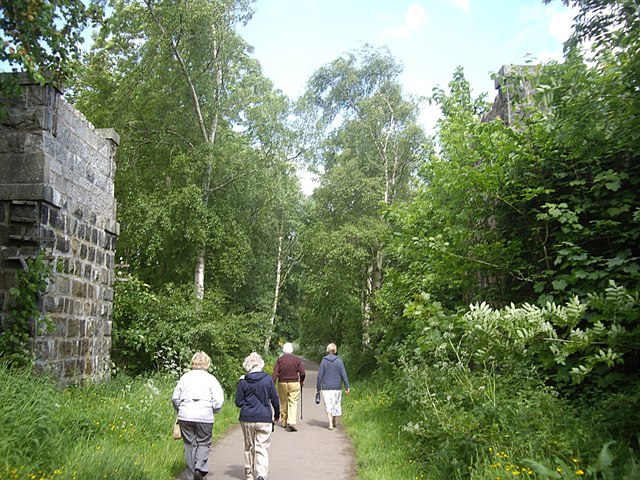
Image: © Stanley Howe Taken: 14 Jun 2013
Passing between the abutments which are all that remain of the road bridge which once used to cross the Old Deeside Railway here.
Images are licensed for reuse under creativecommons.org/licenses/by-sa/2.0
Image Location
Latitude
57.097206
Longitude
-2.252495