Valley near Furley
Introduction
The photograph on this page of Valley near Furley by Derek Harper as part of the Geograph project.
The Geograph project started in 2005 with the aim of publishing, organising and preserving representative images for every square kilometre of Great Britain, Ireland and the Isle of Man.

There are currently over 7.5m images from over 14,400 individuals and you can help contribute to the project by visiting https://www.geograph.org.uk
Valley near Furley
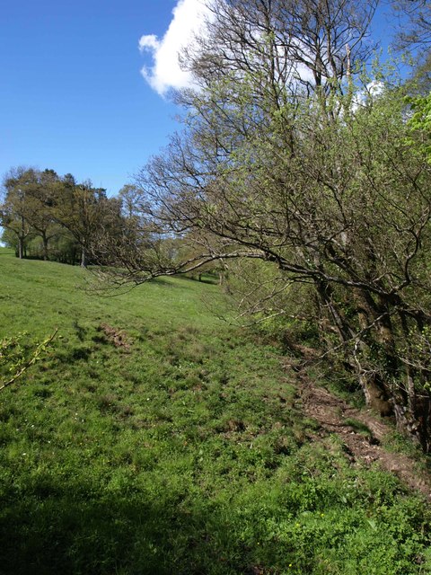
Image: © Derek Harper Taken: 16 May 2013
Looking up the valley that Image looks down, with trees hiding the stream on the right. This is the foot of the field occupied by cattle in Image
Images are licensed for reuse under creativecommons.org/licenses/by-sa/2.0
Image Location
Latitude
50.835447
Longitude
-3.033621