Uppincott Lane east of Chapletown Cross
Introduction
The photograph on this page of Uppincott Lane east of Chapletown Cross by David Smith as part of the Geograph project.
The Geograph project started in 2005 with the aim of publishing, organising and preserving representative images for every square kilometre of Great Britain, Ireland and the Isle of Man.

There are currently over 7.5m images from over 14,400 individuals and you can help contribute to the project by visiting https://www.geograph.org.uk
Uppincott Lane east of Chapletown Cross
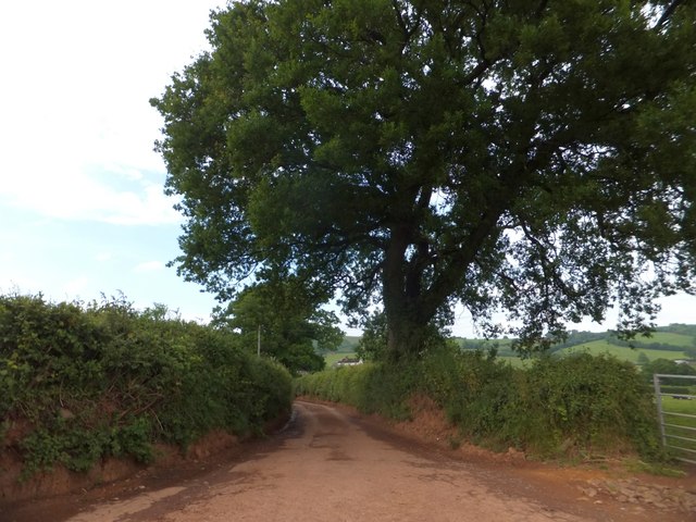
Image: © David Smith Taken: 17 Jun 2013
An old lane running between old hedge-banks - probably a lane which existed in the eleventh century (according to W G Hoskins)
Images are licensed for reuse under creativecommons.org/licenses/by-sa/2.0
Image Location
Latitude
50.849313
Longitude
-3.551578