Stretton Hall Lane, Stretton
Introduction
The photograph on this page of Stretton Hall Lane, Stretton by Jeff Buck as part of the Geograph project.
The Geograph project started in 2005 with the aim of publishing, organising and preserving representative images for every square kilometre of Great Britain, Ireland and the Isle of Man.

There are currently over 7.5m images from over 14,400 individuals and you can help contribute to the project by visiting https://www.geograph.org.uk
Stretton Hall Lane, Stretton
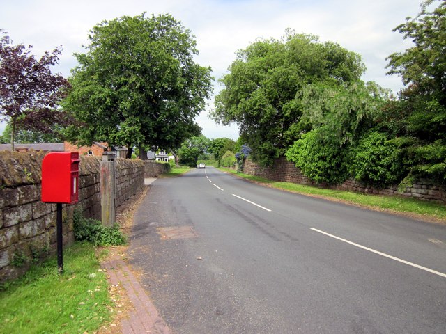
Image: © Jeff Buck Taken: 17 Jun 2013
The name Stretton means "settlement on a Roman Road" (from the Old English stræt and tun). In this case the road ran Whitchurch (Shropshire) to Chester. Wikipedia http://en.wikipedia.org/wiki/Stretton,_Cheshire_West_and_Chester
Images are licensed for reuse under creativecommons.org/licenses/by-sa/2.0
Image Location


Leaflet Map data © OpenStreetMap
Latitude
53.06921
Longitude
-2.825428