A3072 seen from Cadbury Cross
Introduction
The photograph on this page of A3072 seen from Cadbury Cross by David Smith as part of the Geograph project.
The Geograph project started in 2005 with the aim of publishing, organising and preserving representative images for every square kilometre of Great Britain, Ireland and the Isle of Man.

There are currently over 7.5m images from over 14,400 individuals and you can help contribute to the project by visiting https://www.geograph.org.uk
A3072 seen from Cadbury Cross
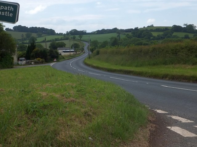
Image: © David Smith Taken: 17 Jun 2013
The houses on the south of the main road are Cadbury Cross Cottages. The wide verge on the left is a reminder of the former course of the A3072, which took a sharper bend here.
Images are licensed for reuse under creativecommons.org/licenses/by-sa/2.0
Image Location
Latitude
50.836697
Longitude
-3.553432