Cemetery of a demolished church, Nantyglo
Introduction
The photograph on this page of Cemetery of a demolished church, Nantyglo by Jaggery as part of the Geograph project.
The Geograph project started in 2005 with the aim of publishing, organising and preserving representative images for every square kilometre of Great Britain, Ireland and the Isle of Man.

There are currently over 7.5m images from over 14,400 individuals and you can help contribute to the project by visiting https://www.geograph.org.uk
Cemetery of a demolished church, Nantyglo
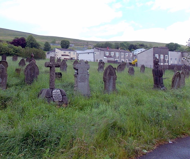
Image: © Jaggery Taken: 14 Jun 2013
Viewed from the Ffosmaen Road side. The cemetery, about 180 metres by 50 metres, was formerly the churchyard on the NE side of Hermon Baptist Church (1820-1987).
Images are licensed for reuse under creativecommons.org/licenses/by-sa/2.0
Image Location
Latitude
51.78233
Longitude
-3.166311