A flower meadow by the Dee
Introduction
The photograph on this page of A flower meadow by the Dee by Stanley Howe as part of the Geograph project.
The Geograph project started in 2005 with the aim of publishing, organising and preserving representative images for every square kilometre of Great Britain, Ireland and the Isle of Man.

There are currently over 7.5m images from over 14,400 individuals and you can help contribute to the project by visiting https://www.geograph.org.uk
A flower meadow by the Dee
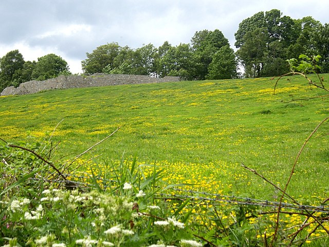
Image: © Stanley Howe Taken: 14 Jun 2013
Looking up the brae from Lovers Walk path to an unidentified walled enclosure (on left). Since the former Deeside Railway used to run along the top of the brae - route marked by the line of trees - the enclosure may have had links with the railway. Indeed the map shows there to have been a short access bridge across the railtrack at that point, the stone abutments of which are still in place.
Images are licensed for reuse under creativecommons.org/licenses/by-sa/2.0
Image Location
Latitude
57.097207
Longitude
-2.252165