An almost hidden footbridge
Introduction
The photograph on this page of An almost hidden footbridge by Stanley Howe as part of the Geograph project.
The Geograph project started in 2005 with the aim of publishing, organising and preserving representative images for every square kilometre of Great Britain, Ireland and the Isle of Man.

There are currently over 7.5m images from over 14,400 individuals and you can help contribute to the project by visiting https://www.geograph.org.uk
An almost hidden footbridge
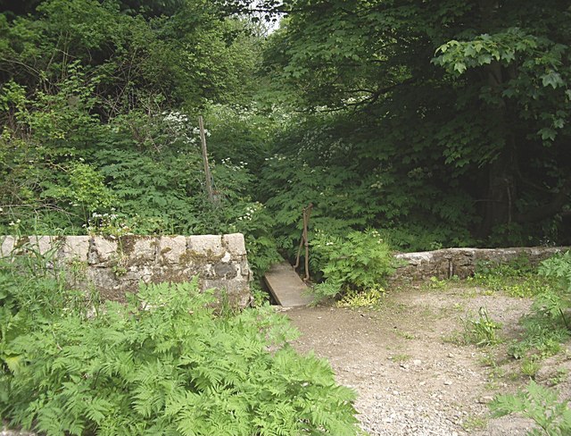
Image: © Stanley Howe Taken: 14 Jun 2013
From Lovers Walk at Pittengullies Brae to Maryculter Bridge, along the north bank of the River Dee.
Images are licensed for reuse under creativecommons.org/licenses/by-sa/2.0
Image Location
Latitude
57.096674
Longitude
-2.249025