Farmland at Fellbeck
Introduction
The photograph on this page of Farmland at Fellbeck by Philip Halling as part of the Geograph project.
The Geograph project started in 2005 with the aim of publishing, organising and preserving representative images for every square kilometre of Great Britain, Ireland and the Isle of Man.

There are currently over 7.5m images from over 14,400 individuals and you can help contribute to the project by visiting https://www.geograph.org.uk
Farmland at Fellbeck
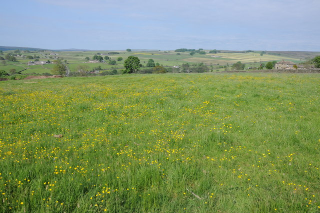
Image: © Philip Halling Taken: 8 Jun 2013
View across farmland opposite Springfield Farm at Fellbeck. Pateley Moor on the far horizon.
Images are licensed for reuse under creativecommons.org/licenses/by-sa/2.0
Image Location


Leaflet Map data © OpenStreetMap
Latitude
54.093909
Longitude
-1.688515