Charnwood Forest farmland
Introduction
The photograph on this page of Charnwood Forest farmland by Mat Fascione as part of the Geograph project.
The Geograph project started in 2005 with the aim of publishing, organising and preserving representative images for every square kilometre of Great Britain, Ireland and the Isle of Man.

There are currently over 7.5m images from over 14,400 individuals and you can help contribute to the project by visiting https://www.geograph.org.uk
Charnwood Forest farmland
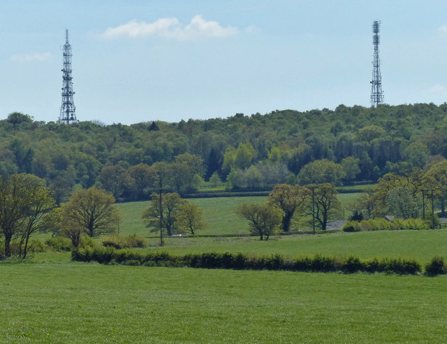
Image: © Mat Fascione Taken: 26 May 2013
The woodland is Copt Oak Wood and Fox Covert, with the two radio masts at Copt Oak on the horizon.
Images are licensed for reuse under creativecommons.org/licenses/by-sa/2.0
Image Location
Latitude
52.722165
Longitude
-1.276999