Pasture land west of Wittenham Clumps
Introduction
The photograph on this page of Pasture land west of Wittenham Clumps by Stuart Logan as part of the Geograph project.
The Geograph project started in 2005 with the aim of publishing, organising and preserving representative images for every square kilometre of Great Britain, Ireland and the Isle of Man.

There are currently over 7.5m images from over 14,400 individuals and you can help contribute to the project by visiting https://www.geograph.org.uk
Pasture land west of Wittenham Clumps
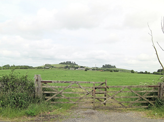
Image: © Stuart Logan Taken: 15 Jun 2013
Strictly speaking the name Wittenham Clumps refers to the wooded summits of these hills, which are themselves more properly referred to as the Sinodun Hills. The name Sinodun deriving from Celtic, Seno-Dunum, meaning 'Old Fort'. Other lesser-used and more colloquial names for the Clumps include the Berkshire Bubs. The two main hills are called Castle Hill and, to the west, Round Hill. See: http://en.wikipedia.org/wiki/Wittenham_Clumps
Images are licensed for reuse under creativecommons.org/licenses/by-sa/2.0
Image Location
Latitude
51.626471
Longitude
-1.192838