Bleak Hills Lane, Mansfield, Notts.
Introduction
The photograph on this page of Bleak Hills Lane, Mansfield, Notts. by David Hallam-Jones as part of the Geograph project.
The Geograph project started in 2005 with the aim of publishing, organising and preserving representative images for every square kilometre of Great Britain, Ireland and the Isle of Man.

There are currently over 7.5m images from over 14,400 individuals and you can help contribute to the project by visiting https://www.geograph.org.uk
Bleak Hills Lane, Mansfield, Notts.
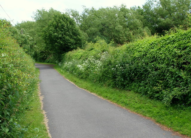
Image: © David Hallam-Jones Taken: 16 Jun 2013
A view of a section of Bleak Hills Lane towards Bleak Hills Dam (and private fishing ponds) as seen from the site of a former property called Beeston's Cottage. This plot of land on which this earlier property was located now houses a much larger replacement house called Bleak Hills House. This is situated a dozen or so paces behind the photographer, as is a "footpath only" continuation of this thoroughfare that leads to Hamilton Way and the Bleak Hills area light industry zone. Locals have confirmed that this lane was also known as Harvey's Lane in the 1940s.
Images are licensed for reuse under creativecommons.org/licenses/by-sa/2.0
Image Location
Latitude
53.130027
Longitude
-1.20785