Aerodrome Farm
Introduction
The photograph on this page of Aerodrome Farm by Christine Johnstone as part of the Geograph project.
The Geograph project started in 2005 with the aim of publishing, organising and preserving representative images for every square kilometre of Great Britain, Ireland and the Isle of Man.

There are currently over 7.5m images from over 14,400 individuals and you can help contribute to the project by visiting https://www.geograph.org.uk
Aerodrome Farm
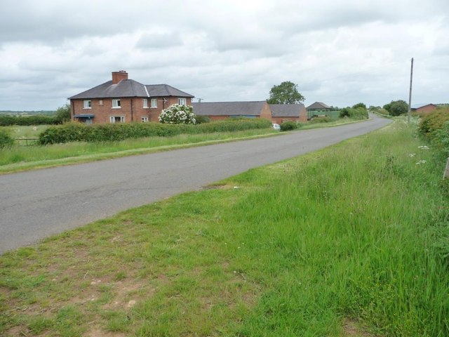
Image: © Christine Johnstone Taken: 14 Jun 2013
Buckminster Aerodrome [not the nearby Saltby] was used between 1916 and 1919 and is long-gone. The farm was built 20 or 30 years before the airfield, but became named after it.
Images are licensed for reuse under creativecommons.org/licenses/by-sa/2.0
Image Location
Latitude
52.805623
Longitude
-0.676153