St Andrew's church, Stratton
Introduction
The photograph on this page of St Andrew's church, Stratton by Mike Searle as part of the Geograph project.
The Geograph project started in 2005 with the aim of publishing, organising and preserving representative images for every square kilometre of Great Britain, Ireland and the Isle of Man.

There are currently over 7.5m images from over 14,400 individuals and you can help contribute to the project by visiting https://www.geograph.org.uk
St Andrew's church, Stratton
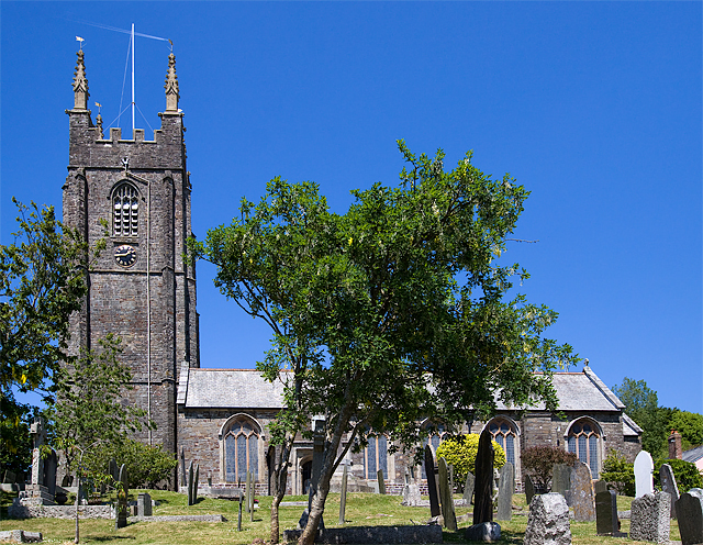
Image: © Mike Searle Taken: 8 Jun 2013
The church is a mixture of C14 - C16, with a C15 tower rising to over 90 feet.
Images are licensed for reuse under creativecommons.org/licenses/by-sa/2.0
Image Location
Latitude
50.830769
Longitude
-4.512655