Whiteheaps Mine road
Introduction
The photograph on this page of Whiteheaps Mine road by Trevor Littlewood as part of the Geograph project.
The Geograph project started in 2005 with the aim of publishing, organising and preserving representative images for every square kilometre of Great Britain, Ireland and the Isle of Man.

There are currently over 7.5m images from over 14,400 individuals and you can help contribute to the project by visiting https://www.geograph.org.uk
Whiteheaps Mine road
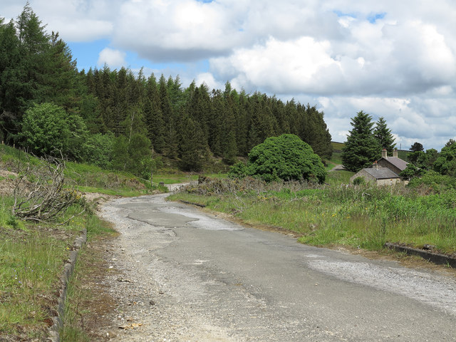
Image: © Trevor Littlewood Taken: 16 Jun 2013
The road is heading towards open moorland so its tarmacked surface might seem unusual but once this road served the Whiteheaps Mine which was worked for various minerals over its lifetime, not closing finally until 1987; the mine site itself has virtually been cleared.
Images are licensed for reuse under creativecommons.org/licenses/by-sa/2.0
Image Location
Latitude
54.818454
Longitude
-2.08058