Wicklewood Mill
Introduction
The photograph on this page of Wicklewood Mill by Ashley Dace as part of the Geograph project.
The Geograph project started in 2005 with the aim of publishing, organising and preserving representative images for every square kilometre of Great Britain, Ireland and the Isle of Man.

There are currently over 7.5m images from over 14,400 individuals and you can help contribute to the project by visiting https://www.geograph.org.uk
Wicklewood Mill
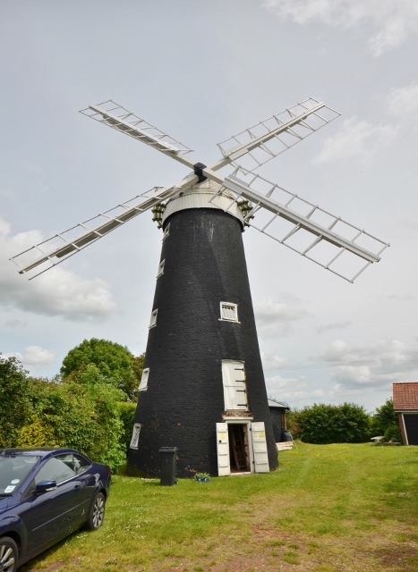
Image: © Ashley Dace Taken: 16 Jun 2013
A view of the mill after having its steel stocks replaced with wooden ones. The mill will now be open (check Norfolk Mills Trust website) at least every month in the summer. The mill ground animal feed and housed two pairs of wind driven stones and a set of engine driven machinery. Image]
Images are licensed for reuse under creativecommons.org/licenses/by-sa/2.0
Image Location
Latitude
52.581996
Longitude
1.063204