Ordnance Survey Rivet
Introduction
The photograph on this page of Ordnance Survey Rivet by Adrian Dust as part of the Geograph project.
The Geograph project started in 2005 with the aim of publishing, organising and preserving representative images for every square kilometre of Great Britain, Ireland and the Isle of Man.

There are currently over 7.5m images from over 14,400 individuals and you can help contribute to the project by visiting https://www.geograph.org.uk
Ordnance Survey Rivet
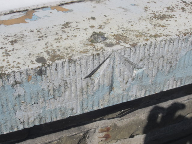
Image: © Adrian Dust Taken: 9 Jun 2013
This Ordnance Survey Rivet with Broad Arrow can be found on the window ledge of No118 Waterloo Road. It marks a point 145.2400m above mean sea level.
Images are licensed for reuse under creativecommons.org/licenses/by-sa/2.0
Image Location


Leaflet Map data © OpenStreetMap
Latitude
51.786521
Longitude
-4.04953