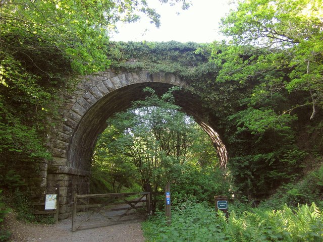
Cuthman's Bridge
Introduction
The photograph on this page of Cuthman's Bridge by Derek Harper as part of the Geograph project.
The Geograph project started in 2005 with the aim of publishing, organising and preserving representative images for every square kilometre of Great Britain, Ireland and the Isle of Man.
There are currently over 7.5m images from over 14,400 individuals and you can help contribute to the project by visiting https://www.geograph.org.uk

Image: © Derek Harper Taken: 8 Jun 2013
Carrying Sourton Bridleway 14 between the A386 and the moor across the Granite Way. The notice on the left explains that the next 230 metres of the track is a right of way only on Bank Holidays and during August, which seems an unusual arrangement. At other time access is permissive. Worse, there is no way up on to the bridleway, so were it to be closed one would have to return to Lake Viaduct and face either a hefty climb up onto the moor, or use the main road. As I'd hurt my knee earlier in the day, and was glad to be within about a kilometre of the end of my walk, neither was an attractive option. Fortunately, the gate was open.

