David Douglas Avenue
Introduction
The photograph on this page of David Douglas Avenue by Rob Burke as part of the Geograph project.
The Geograph project started in 2005 with the aim of publishing, organising and preserving representative images for every square kilometre of Great Britain, Ireland and the Isle of Man.

There are currently over 7.5m images from over 14,400 individuals and you can help contribute to the project by visiting https://www.geograph.org.uk
David Douglas Avenue
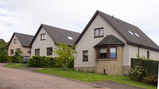
Image: © Rob Burke Taken: 1 Jun 2013
Houses on a small cul-de-sac. The roads on this part of the estate all have the one name.
Images are licensed for reuse under creativecommons.org/licenses/by-sa/2.0
Image Location
Latitude
56.421953
Longitude
-3.395447