1853 flood height marker, Brecon
Introduction
The photograph on this page of 1853 flood height marker, Brecon by Jaggery as part of the Geograph project.
The Geograph project started in 2005 with the aim of publishing, organising and preserving representative images for every square kilometre of Great Britain, Ireland and the Isle of Man.

There are currently over 7.5m images from over 14,400 individuals and you can help contribute to the project by visiting https://www.geograph.org.uk
1853 flood height marker, Brecon
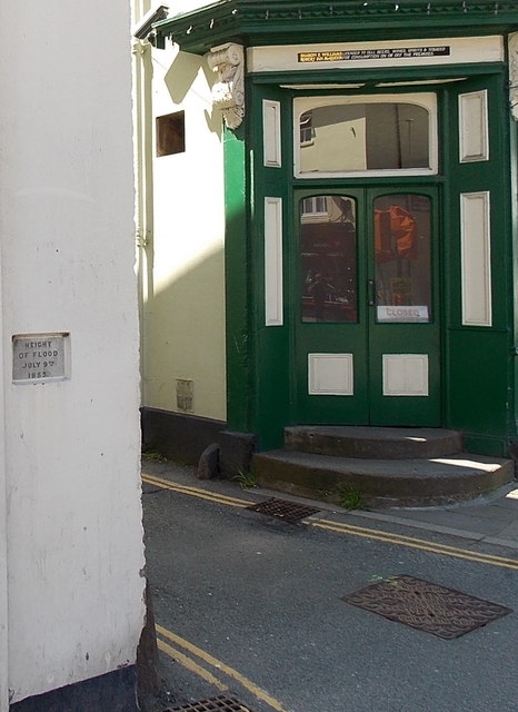
Image: © Jaggery Taken: 9 Jun 2013
The marker on the left records the height of the flood on July 9th 1853. The location is the corner of St Michael Street and Ship Street, adjacent to the Boar's Head. http://www.geograph.org.uk/photo/2975889 70 metres from the pub, the waters of the River Honddu flow into the River Usk, adding to the potential for flooding in this area.
Images are licensed for reuse under creativecommons.org/licenses/by-sa/2.0
Image Location
Latitude
51.947645
Longitude
-3.39292