Near Annamuick
Introduction
The photograph on this page of Near Annamuick by Anne Burgess as part of the Geograph project.
The Geograph project started in 2005 with the aim of publishing, organising and preserving representative images for every square kilometre of Great Britain, Ireland and the Isle of Man.

There are currently over 7.5m images from over 14,400 individuals and you can help contribute to the project by visiting https://www.geograph.org.uk
Near Annamuick
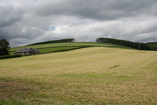
Image: © Anne Burgess Taken: 15 Jun 2013
The foreground is in square, including the new bungalow which isn't on the map, but the top of the hill is in the next square.
Images are licensed for reuse under creativecommons.org/licenses/by-sa/2.0
Image Location
Latitude
56.955607
Longitude
-2.338676