Cambuskenneth, Stirling
Introduction
The photograph on this page of Cambuskenneth, Stirling by Mike Pennington as part of the Geograph project.
The Geograph project started in 2005 with the aim of publishing, organising and preserving representative images for every square kilometre of Great Britain, Ireland and the Isle of Man.

There are currently over 7.5m images from over 14,400 individuals and you can help contribute to the project by visiting https://www.geograph.org.uk
Cambuskenneth, Stirling
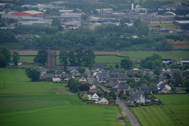
Image: © Mike Pennington Taken: 10 Jun 2013
The abbey owned the land at Abbey Craig, the location of the Wallace Monument, form where this photo was taken.
Images are licensed for reuse under creativecommons.org/licenses/by-sa/2.0
Image Location
Latitude
56.124614
Longitude
-3.918919