High Wycombe: The Dyke waterfall
Introduction
The photograph on this page of High Wycombe: The Dyke waterfall by Nigel Cox as part of the Geograph project.
The Geograph project started in 2005 with the aim of publishing, organising and preserving representative images for every square kilometre of Great Britain, Ireland and the Isle of Man.

There are currently over 7.5m images from over 14,400 individuals and you can help contribute to the project by visiting https://www.geograph.org.uk
High Wycombe: The Dyke waterfall
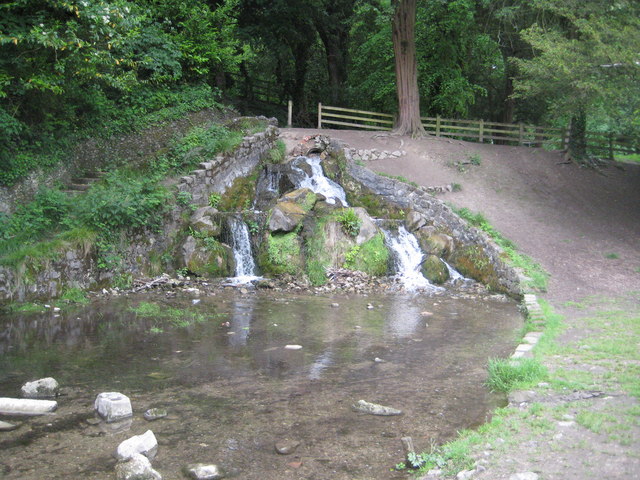
Image: © Nigel Cox Taken: 5 Jun 2012
The Dyke is an artificial lake, some 800 metres long, that was created in the 18th Century during the landscaping of the parkland around Wycombe Abbey. It was possibly designed by Lancelot Brown. This is the waterfall at the downstream, south-eastern, end, where excess water drains off into Wycombe Marsh Brook, a tributary of the River Wye.
Images are licensed for reuse under creativecommons.org/licenses/by-sa/2.0
Image Location
Latitude
51.621552
Longitude
-0.736747