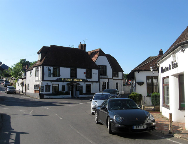
The Square (1)
Introduction
The photograph on this page of The Square (1) by Simon Carey as part of the Geograph project.
The Geograph project started in 2005 with the aim of publishing, organising and preserving representative images for every square kilometre of Great Britain, Ireland and the Isle of Man.
There are currently over 7.5m images from over 14,400 individuals and you can help contribute to the project by visiting https://www.geograph.org.uk

Image: © Simon Carey Taken: 8 Jun 2013
The centre of the village where the old east-west and north-south routes meet. This view looks down Nepcote Lane towards the crossroads with School Hill heading off to the left and Horsham Road to the right. The main building in view is the Village House which possesses an 18th century facade dating back to a much older structure from Tudor times, the oldest conveyance record is off 1527. Originally a private house it has also been a nursing home and from the 1930s a guest house and tea room. Today it is a small hotel. See also Image

