Wycombe Marsh: Wye Dene and Sierra Road
Introduction
The photograph on this page of Wycombe Marsh: Wye Dene and Sierra Road by Nigel Cox as part of the Geograph project.
The Geograph project started in 2005 with the aim of publishing, organising and preserving representative images for every square kilometre of Great Britain, Ireland and the Isle of Man.

There are currently over 7.5m images from over 14,400 individuals and you can help contribute to the project by visiting https://www.geograph.org.uk
Wycombe Marsh: Wye Dene and Sierra Road
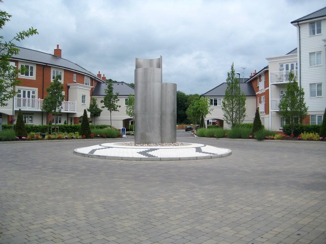
Image: © Nigel Cox Taken: 5 Jun 2012
This brownfield development site was once occupied by Bowden Corn Mill, and then by a sewage works. Sierra Road heads on into the development past the roundabout. There is a strange optical illusion with this photograph whereby the roundabout looks as if it has been shopped in and is floating above the road!
Images are licensed for reuse under creativecommons.org/licenses/by-sa/2.0
Image Location
Latitude
51.62134
Longitude
-0.725486