Steep Lane
Introduction
The photograph on this page of Steep Lane by Simon Carey as part of the Geograph project.
The Geograph project started in 2005 with the aim of publishing, organising and preserving representative images for every square kilometre of Great Britain, Ireland and the Isle of Man.

There are currently over 7.5m images from over 14,400 individuals and you can help contribute to the project by visiting https://www.geograph.org.uk
Steep Lane
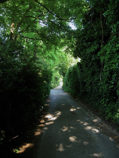
Image: © Simon Carey Taken: 8 Jun 2013
Once part of an ancient east-west road that linked Steyning to Arundel it is now a quiet residential backwater linking High Street to Nepcote Green.
Images are licensed for reuse under creativecommons.org/licenses/by-sa/2.0
Image Location
Latitude
50.864622
Longitude
-0.402763