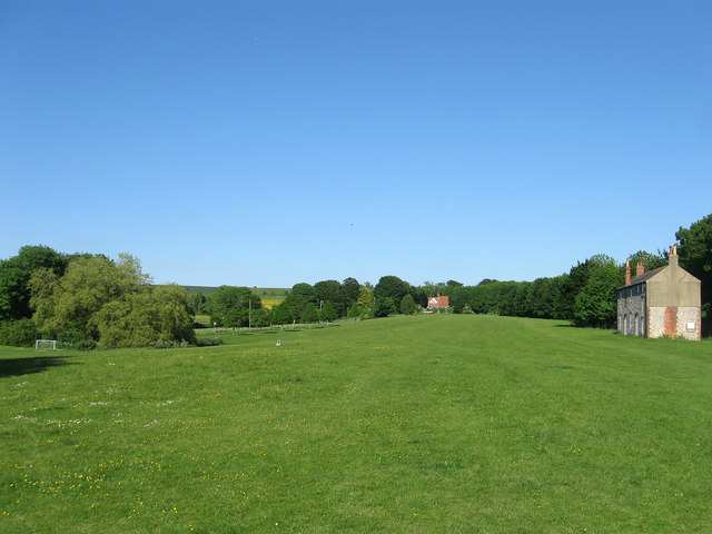
Nepcote Green
Introduction
The photograph on this page of Nepcote Green by Simon Carey as part of the Geograph project.
The Geograph project started in 2005 with the aim of publishing, organising and preserving representative images for every square kilometre of Great Britain, Ireland and the Isle of Man.
There are currently over 7.5m images from over 14,400 individuals and you can help contribute to the project by visiting https://www.geograph.org.uk

Image: © Simon Carey Taken: 8 Jun 2013
The opposite view of Image with Image to the right and Image amongst the trees to the left. The house at the far end of the green is Thistle Down. The only remaining piece of common land within the parish Findon given over to the village for recreational purposes in 1856 when all remaining downland pasture was enclosed. It hosts the annual sheep fair the second Saturday in September which has existed within the village since the 13th century and settled on this spot around 1785 and has been held here ever since. The auctioning of sheep began in 1896 and continues to this day though the numbers passing through the fair, once reaching 10,000, have been reduced in recent years. Originally flocks were walked over the downland pastures to the village firstly from the local surrounding villages then during the 19th century over the Downs from Steyning railway station. During the 20th century these methods were gradually replaced by lorries. Today much buying and selling goes on elsewhere throughout the year and the event has become more of an exhibition and judging of different types of breeds. However, the attached fun fair and market stalls still attract much interest and visitors. A separate lamb fair was held annually in July until it ceased in 1971.

