Cycling the Dungonnell Road
Introduction
The photograph on this page of Cycling the Dungonnell Road by Robert Ashby as part of the Geograph project.
The Geograph project started in 2005 with the aim of publishing, organising and preserving representative images for every square kilometre of Great Britain, Ireland and the Isle of Man.

There are currently over 7.5m images from over 14,400 individuals and you can help contribute to the project by visiting https://www.geograph.org.uk
Cycling the Dungonnell Road
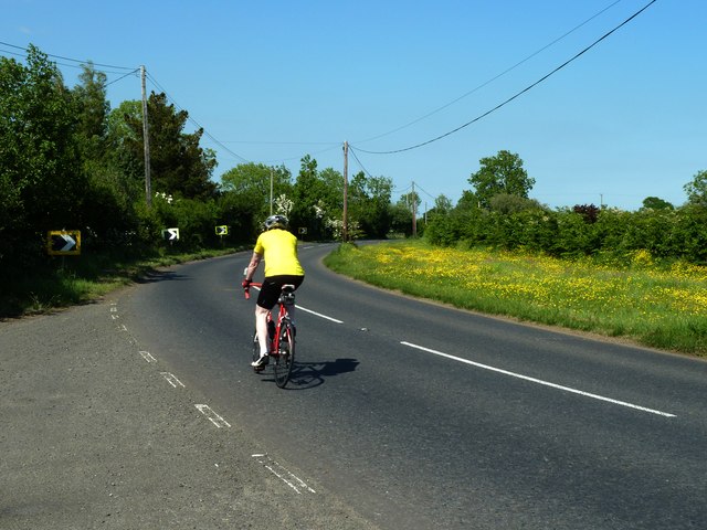
Image: © Robert Ashby Taken: 9 Jun 2013
A cyclist passes a display of buttercups on the verge of the road and a series of helpful arrows seem to be trying to draw his attention to them. Or maybe just warning of a dangerous bend ahead.
Images are licensed for reuse under creativecommons.org/licenses/by-sa/2.0
Image Location
Latitude
54.66142
Longitude
-6.263906