A former Place of Worship, Forgandenny
Introduction
The photograph on this page of A former Place of Worship, Forgandenny by Stanley Howe as part of the Geograph project.
The Geograph project started in 2005 with the aim of publishing, organising and preserving representative images for every square kilometre of Great Britain, Ireland and the Isle of Man.

There are currently over 7.5m images from over 14,400 individuals and you can help contribute to the project by visiting https://www.geograph.org.uk
A former Place of Worship, Forgandenny
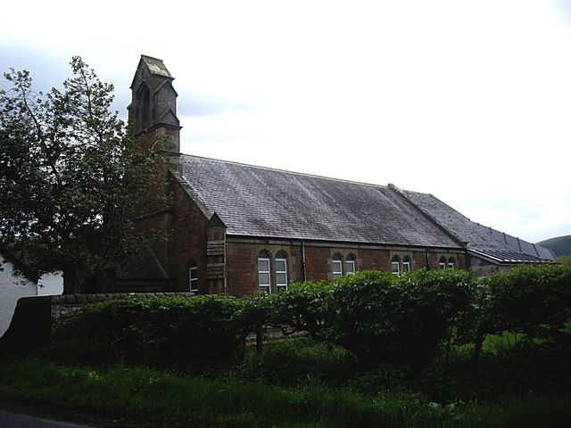
Image: © Stanley Howe Taken: 30 May 2013
By the B935, opposite its junction with Station Road, this building has all the features of a church but is not marked as such on current OS maps. Can anyone fill in its history for me please?
Images are licensed for reuse under creativecommons.org/licenses/by-sa/2.0
Image Location
Latitude
56.345764
Longitude
-3.480182