Crossing House
Introduction
The photograph on this page of Crossing House by Alan Murray-Rust as part of the Geograph project.
The Geograph project started in 2005 with the aim of publishing, organising and preserving representative images for every square kilometre of Great Britain, Ireland and the Isle of Man.

There are currently over 7.5m images from over 14,400 individuals and you can help contribute to the project by visiting https://www.geograph.org.uk
Crossing House
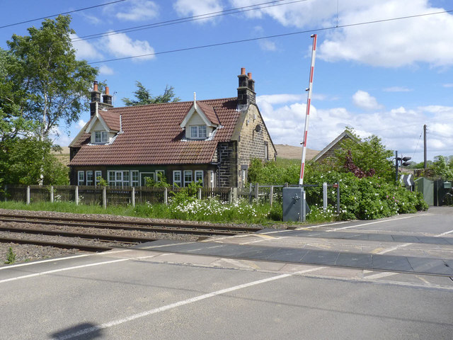
Image: © Alan Murray-Rust Taken: 12 Jun 2013
At Ulgham Lane crossing. This was originally a pair of cottages, one of which would have been for the main crossing keeper. The other might have housed a relief keeper to provide for 24-hour operation or a permanent way gangsman.
Images are licensed for reuse under creativecommons.org/licenses/by-sa/2.0
Image Location
Latitude
55.20512
Longitude
-1.625699