Southeast end of Belle Isle Park
Introduction
The photograph on this page of Southeast end of Belle Isle Park by Derek Harper as part of the Geograph project.
The Geograph project started in 2005 with the aim of publishing, organising and preserving representative images for every square kilometre of Great Britain, Ireland and the Isle of Man.

There are currently over 7.5m images from over 14,400 individuals and you can help contribute to the project by visiting https://www.geograph.org.uk
Southeast end of Belle Isle Park
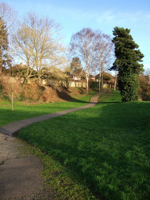
Image: © Derek Harper Taken: 26 Feb 2007
At the downstream end of the riverside park, steps lead up to join the Weirfield Path towards St James Weir. The houses are on Rivermead Road.
Images are licensed for reuse under creativecommons.org/licenses/by-sa/2.0
Image Location
Latitude
50.710887
Longitude
-3.518958