Sherwood, NG5, Nottingham.
Introduction
The photograph on this page of Sherwood, NG5, Nottingham. by David Hallam-Jones as part of the Geograph project.
The Geograph project started in 2005 with the aim of publishing, organising and preserving representative images for every square kilometre of Great Britain, Ireland and the Isle of Man.

There are currently over 7.5m images from over 14,400 individuals and you can help contribute to the project by visiting https://www.geograph.org.uk
Sherwood, NG5, Nottingham.
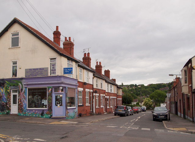
Image: © David Hallam-Jones Taken: 13 Jun 2013
Hall Street from the intersection with Mansfield Street. Mansfield Road (the A60) lies behind 30 seconds walk away behind the photographer.
Images are licensed for reuse under creativecommons.org/licenses/by-sa/2.0
Image Location
Latitude
52.982964
Longitude
-1.143366