The village pond in Lindfield
Introduction
The photograph on this page of The village pond in Lindfield by Russel Wills as part of the Geograph project.
The Geograph project started in 2005 with the aim of publishing, organising and preserving representative images for every square kilometre of Great Britain, Ireland and the Isle of Man.

There are currently over 7.5m images from over 14,400 individuals and you can help contribute to the project by visiting https://www.geograph.org.uk
The village pond in Lindfield
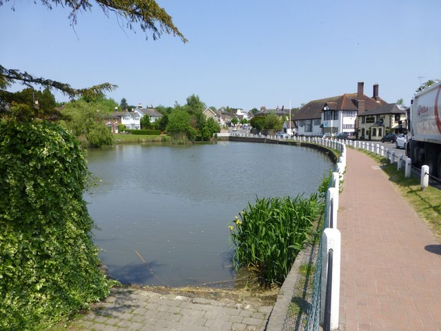
Image: © Russel Wills Taken: 6 Jun 2013
Lindfield (the name means 'open land with lime trees') gained national notoriety when it had to withdraw from the Best Kept Village in all Sussex competition in order to give other villages a chance! http://myweb.tiscali.co.uk/kenanderson/lindfieldvillage/
Images are licensed for reuse under creativecommons.org/licenses/by-sa/2.0
Image Location
Latitude
51.011236
Longitude
-0.081828