Footbridge beside Trews Weir
Introduction
The photograph on this page of Footbridge beside Trews Weir by Derek Harper as part of the Geograph project.
The Geograph project started in 2005 with the aim of publishing, organising and preserving representative images for every square kilometre of Great Britain, Ireland and the Isle of Man.

There are currently over 7.5m images from over 14,400 individuals and you can help contribute to the project by visiting https://www.geograph.org.uk
Footbridge beside Trews Weir
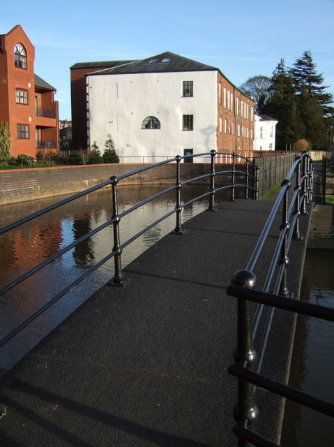
Image: © Derek Harper Taken: 26 Feb 2007
This footbridge, recently renovated, carries the Weirfield Path (which runs along the left bank of the Exe) across a leat taken off immediately above Trews Weir, which is a yard or two to the right (see Image). The leat powered Image in the background, but the water now just returns to the river, having provided an attractive setting for Pitts Court flats, on the left.
Images are licensed for reuse under creativecommons.org/licenses/by-sa/2.0
Image Location
Latitude
50.714504
Longitude
-3.524316