Edge of Auchterarder
Introduction
The photograph on this page of Edge of Auchterarder by Richard Webb as part of the Geograph project.
The Geograph project started in 2005 with the aim of publishing, organising and preserving representative images for every square kilometre of Great Britain, Ireland and the Isle of Man.

There are currently over 7.5m images from over 14,400 individuals and you can help contribute to the project by visiting https://www.geograph.org.uk
Edge of Auchterarder
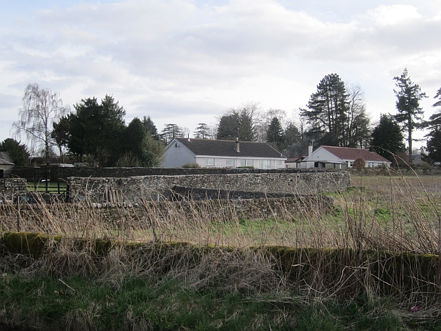
Image: © Richard Webb Taken: 24 Apr 2013
The ground here is advertised locally as "The Castleton", a forthcoming housing development.
Images are licensed for reuse under creativecommons.org/licenses/by-sa/2.0
Image Location
Latitude
56.301045
Longitude
-3.701806