Station Road sign, Crossgar
Introduction
The photograph on this page of Station Road sign, Crossgar by Albert Bridge as part of the Geograph project.
The Geograph project started in 2005 with the aim of publishing, organising and preserving representative images for every square kilometre of Great Britain, Ireland and the Isle of Man.

There are currently over 7.5m images from over 14,400 individuals and you can help contribute to the project by visiting https://www.geograph.org.uk
Station Road sign, Crossgar
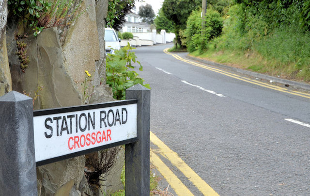
Image: © Albert Bridge Taken: 13 Jun 2013
Crossgar was a station and block post, between Ballynahinch Jct Image and King’s Bridge halt, on the line from Belfast to Downpatrick and Newcastle. This sign, at the Kilmore Road end, seems to be the only reminder that there was ever a railway in the village. Railway Park now occupies the site of the station. Old photographs show that it was similar to that at Saintfield Image
Images are licensed for reuse under creativecommons.org/licenses/by-sa/2.0
Image Location
Latitude
54.39631
Longitude
-5.763122