Whiteport, Lough Neagh
Introduction
The photograph on this page of Whiteport, Lough Neagh by Robert Ashby as part of the Geograph project.
The Geograph project started in 2005 with the aim of publishing, organising and preserving representative images for every square kilometre of Great Britain, Ireland and the Isle of Man.

There are currently over 7.5m images from over 14,400 individuals and you can help contribute to the project by visiting https://www.geograph.org.uk
Whiteport, Lough Neagh
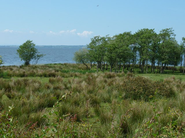
Image: © Robert Ashby Taken: 9 Jun 2013
Part of the low-lying bogland at the edge of Lough Neagh. In the past the water level of the lough was higher and this area would have been under water.
Images are licensed for reuse under creativecommons.org/licenses/by-sa/2.0
Image Location
Latitude
54.67511
Longitude
-6.266268